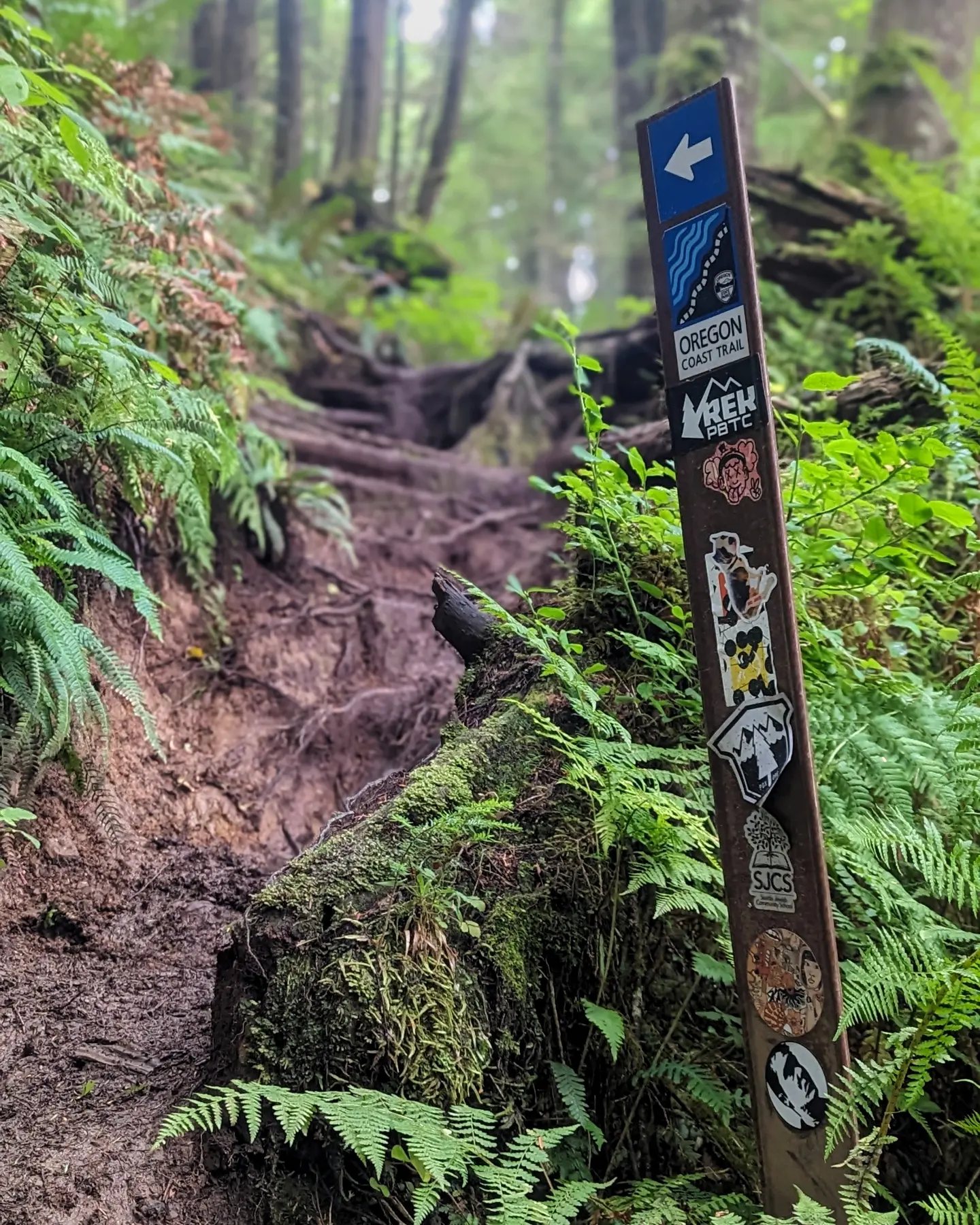
The Oregon Coast Trail is my Summerland, 382 miles (or 425 if you’re stubborn enough to skip the ferries) tracing the edge where America meets the Pacific. From the mouth of the Columbia River to the California border: 39% on beaches where fog can roll in without warning, 41% on the shoulder of Highway 101 with traffic buzzing past like angry insects, and 20% on forest paths that feel like stepping through portals into ancient, moss-draped realms.
This isn’t a wilderness experience like other long trails. It’s something stranger, a liminal journey where you’ll wake to the rhythm of waves in the morning, and resupply in towns so regularly, that you won’t have to carry much food at all… And rain is always a possibility, regardless of season.
My own Quick and Dirty Oregon Coast Trail Thru Hiker’s Guide is rough around the edges and possibly (probably) outdated, but paired with the free Oregon Coast Trail Maps from the state, it might just help you navigate this magnificent coastal edge-walk. It’s not the longest trail, not the most remote, but in its contradictions and ever-changing moods, it offers something few other paths can, a constant reminder of your smallness against the vastness of the Pacific.
